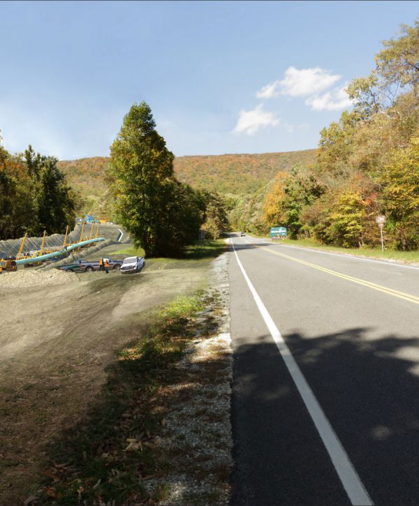
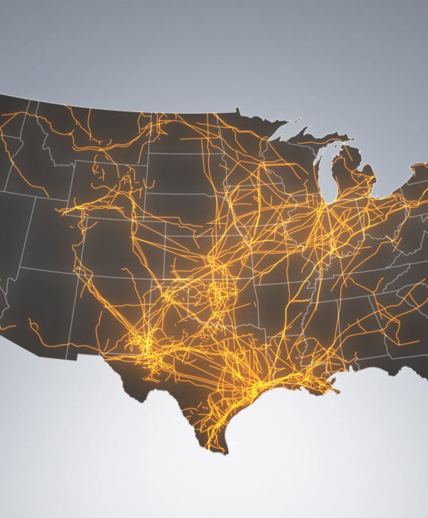
Utilizing photo visualization technology to assist in explaining major infrastructure projects across North America and the Asia Pacific regions has become a mainstream requirement. Providing supporting evidence that communicates how they are built and why they should be believed, is rare.
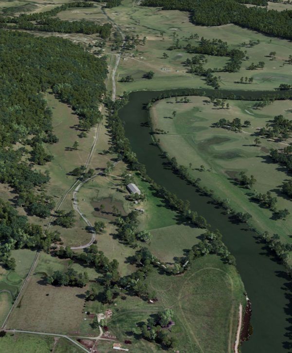
Using the engineering detail that the Atlantic Gas Pipeline Project (AGP) submitted as part of their project application enabled Truescape™ to accurately show how the proposed pipeline will be viewed when standing on the pre-determined photo point locations, and under the same climatic conditions the photographer experienced when capturing the original photos.
In addition, this short presentation also includes an overview of the methodology by which the