Truescape is recognized as the world leader in developing accurate visualizations that support outreach efforts and Environmental Impact Statements on projects across all industries globally. Our trained experts have successfully delivered expert testimony in multiple jurisdictions throughout the North America and the Asia Pacific regions.
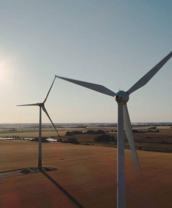
The TrueView™ photo simulation has long been regarded as the world’s most accurate photo visualization technology. Produced with 3D models developed using precision engineering data and aligned with surveyed control points make the TrueView™ the most defendable visualization tool on the market today.
Furthermore, when combined with Truescape’s unique process in capturing and aligning high-resolution digital photography the patented TrueView™ is the only visualization that is representative of how our eyes view landscapes.
Truescape Experts have contributed to the drafting of multiple industry guidelines and standards including the US Department of The Interior’s Guide to Evaluating Visual Impact Assessments for Renewable Energy Projects and the New Zealand Institute of Landscape Architects Best Practice Guide to Visual Simulations.